
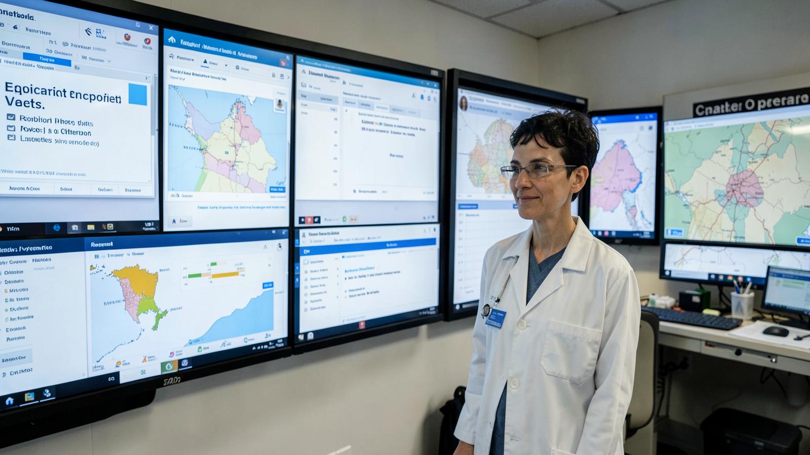
A heat advisory covering an entire metropolitan region tells a resident very little about whether their specific block, often without tree cover and with heat retaining pavement, is meaningfully hotter than a leafy neighborhood a few miles away where the same advisory technically applies. That mismatch between broad regional warnings and highly local risk has been a known limitation of public health alert systems for years, and it is now being addressed with a combination of denser sensor networks and more granular modeling.
The core insight driving this shift is that heat and air pollution exposure varies enormously within a single city, sometimes by several degrees or by a meaningful jump in pollutant concentration across a distance of less than a mile. Neighborhoods with less tree canopy, more paved surface, and older housing stock without reliable air conditioning consistently register higher heat exposure and worse health outcomes during heat events than neighborhoods a short distance away with more green space and newer housing. A single citywide advisory obscures that variation entirely, treating a resident in a well shaded suburb the same as a resident in a dense urban heat island, even though their actual risk differs substantially.
Building Alerts Around Specific Protective Actions

The more significant shift, beyond finer grained geography, is a move toward alerts that specify a concrete action rather than a general warning. A message telling a resident to limit outdoor activity is less actionable than one that tells them a specific cooling center is open two blocks away with extended hours, or that a specific transit route offers free rides to that cooling center during the alert period. Public health agencies working on next generation alert systems have found that pairing a localized risk signal with a specific, nearby resource meaningfully increases the chance that a vulnerable resident actually takes protective action, compared with a generic advisory broadcast at a city or county level.
Building this kind of system requires integrating several data streams that have traditionally lived in separate agencies: meteorological forecasting, air quality monitoring networks, a registry of cooling center locations and hours that has to stay current, and increasingly, data on which populations are most vulnerable, including older adults living alone and people with chronic respiratory conditions who are known to public health or social service agencies. Coordinating that integration across agencies that do not normally share data systems, city emergency management, county public health, and often independent transit authorities, has been the slower part of building these systems, more so than the underlying sensor and modeling technology.
Air Quality Alerts Face a Similar Evolution

Air quality warning systems are undergoing a parallel shift, driven partly by an increase in the frequency and geographic reach of wildfire smoke events, which have made air quality alerts relevant to regions that historically saw them rarely. Low cost air quality sensor networks, often deployed in partnership with community organizations and schools, are filling gaps between the sparser network of regulatory grade monitoring stations that most air quality alerts have traditionally relied on. These lower cost sensors are less precise than regulatory grade equipment, but they provide enough additional spatial resolution to identify neighborhood level pollution hotspots that a widely spaced regulatory network would miss entirely.
The tradeoff between sensor precision and spatial coverage is one that public health agencies are still working through, since an alert system built on less precise data risks either under warning genuine hotspots or over warning areas where actual exposure is milder than the sensor suggests. Most agencies adopting these denser networks describe using the low cost sensor data to identify areas warranting closer attention, then relying on regulatory grade monitoring or targeted temporary equipment to confirm before issuing a formal alert specific to that area, similar to the triage approach public health agencies have taken with continuous wastewater sensors.
Equity Considerations Shape System Design
Because heat and air quality risk correlate strongly with historical patterns of disinvestment, tree canopy loss, and industrial siting, the neighborhoods that most need finer grained alerts are often the same neighborhoods that have historically had the least investment in monitoring infrastructure. Public health agencies building out these systems have had to make deliberate choices to prioritize sensor deployment in underserved neighborhoods first, rather than defaulting to areas that already had better infrastructure or more organized resident advocacy, in order to avoid building a more granular alert system that ends up serving already well resourced neighborhoods best.
Key Signals
Heat and air quality warning systems are moving from broad regional advisories toward neighborhood level alerts, driven by denser low cost sensor networks and more granular modeling that reveal how much exposure varies within a single city. The most consequential design change is pairing localized risk alerts with specific, nearby protective actions such as a named cooling center with current hours, which appears to drive meaningfully higher response than generic advisories. Coordinating the data integration across meteorological agencies, air quality monitors, cooling center registries, and vulnerable population data has proven slower than the underlying sensor technology itself. Equity minded deployment, prioritizing historically underserved neighborhoods for sensor placement, is essential to ensuring finer grained alert systems reduce rather than reinforce existing health disparities.